
Simulcast / Off-site
Begins:
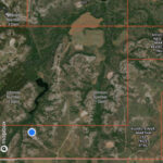
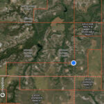
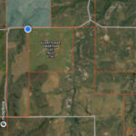
09/20/2023 10:00 amLocation:
Smith & Co. Auction Facility, 10762 U.S. Hwy 412 Mooreland, Oklahoma 73852
View Sale Bill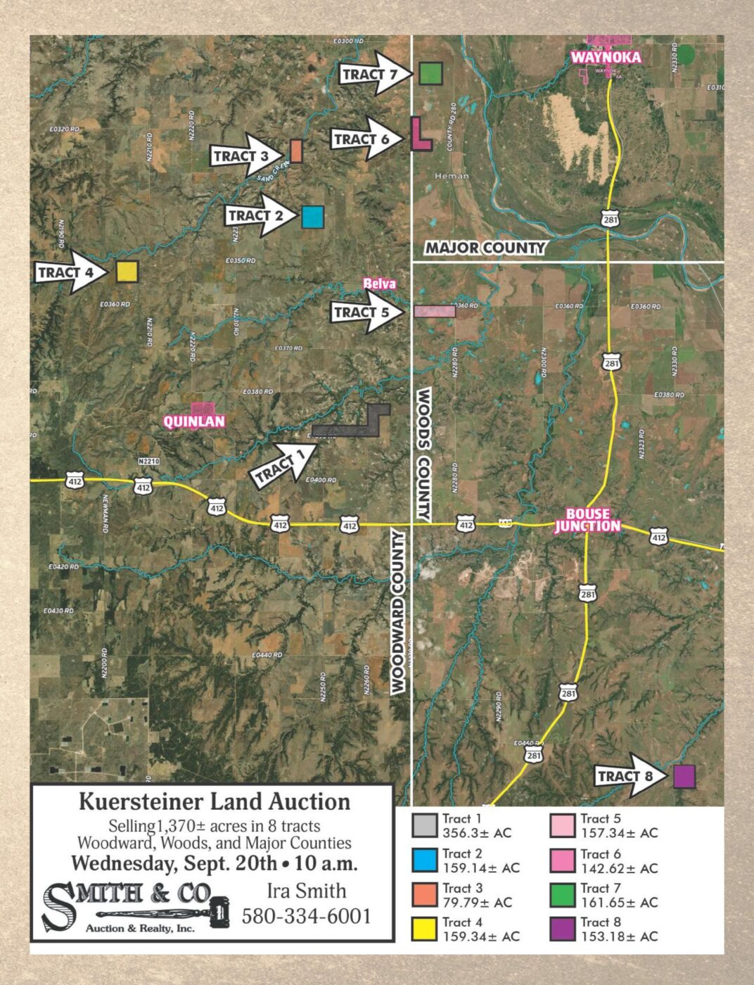
AUCTION PREVIEW
To See This Property, Call or Text Ira Smith 580-334-6001 or email ira@smithcoauctions.com.
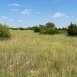
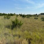
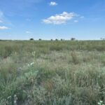
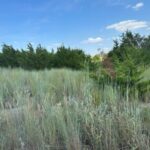
AUCTION DESCRIPTION
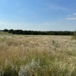
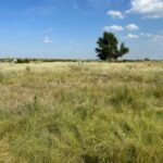
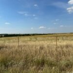
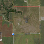
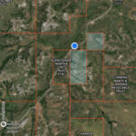
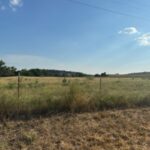
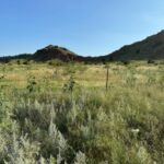
TRACT 1 356.3± Acres, Woodward Co.
Legal Description: The SE/4 SE/4 of Sec. 22 and S/2 S/2 of Sec. 23 and W/2 SW/4, S/2 NW/4 of Sec.24 all in T23N R17 WIM
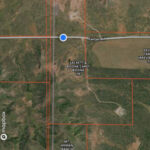
Land Location: Located east of Quinlan, from Hwy 412 & County Road 226 go north on County Road 226 for 2.1 miles. From Mooreland go 13 miles east on Highway 412 then 2.1 miles north on County Road 226.
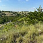
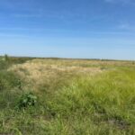
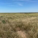
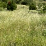
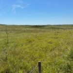
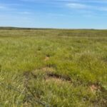
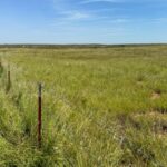
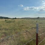
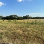
Land Description: Tract 1 is a 1.5 mile wide tract of land with rolling terrain and grass top canyons that open up to a big, beautiful bottom. The land has a fence on the south side and is not fenced on the north side. There is county road access all along the south side and 4 oil and gas locations on the property with several rocked roads. The tract covers a large area for livestock grazing and hunting with lots of excellent wild game habitat. Lease expires Sept. 1st, possession upon closing. Exciting hunting opportunities await! Call Ira at 580-334-6001 to learn more!
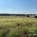
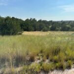
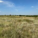
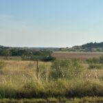
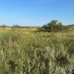
TRACT 2 159.14± Acres, Woodward Co.
Legal Description: The N/2 NE/4 of Sec. 34 T24N R17 and S/2 SE/4 of Sec. 27 T24N R17 WIM
Land Location: North out of Quinlan on Blacktop, follow County Road 223 for 2 miles then go east on County Road 35 for one mile then follow County Road for 1/2 mile north then 1/2 mile east and 1/4 mile north into the SW corner of the property.
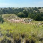
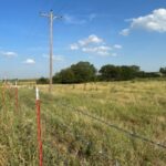
Land Description: Tract 2 is a good farm! It consists of an Old World Blue stem grass with a water well and good fences. There is a draw with a pond on the northwest corner of the tract. County road access is available on the south and southeast sides. The property has a very good stand of improved grass and working water well with a solar pump and panel. The current lease is through Dec. 1, 2023, with possession upon closing.
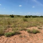
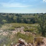
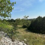
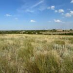
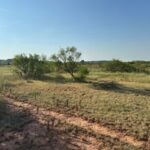
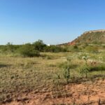
TRACT 3 79.79± Acres, Woodward Co.
Legal Description: The NE of SW and SE NW of Sec. 22 T24N R17WIM containing approx. 80± acres.
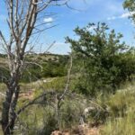
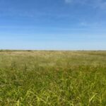
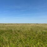
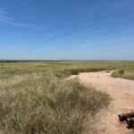
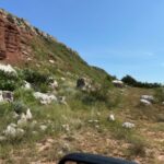
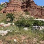
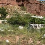
Land Location and Description: Tract 3 is an isolated tract of land with no county road access. Sand Creek cuts across the northwest area. There is a large gypsum rock bluff on the east. This tract is not fenced. Take a look at the map and pictures! A beautiful view and live creek! Call Ira to see this land 580-334-6001.
TRACT 4 159.34± Acres, Woodward Co.
Legal Description: The E/2 NW/4 and W/2 NE/4 of Sec. 1 T23N R18WIM
Land Location: From the Curtis Cemetery on Highway 412 (4 miles east of Mooreland) go north on Blacktop County Road 217 for 2 miles then east on County Road 38 for 2 miles then follow County Road 219 north approx. 2 miles then east on County Road 36 for 1/10 mile then north on County Road 276 one mile and 1/2 east OR north of Quinlan off County Road 223 3 miles then west on County Road 35 for 3 miles.
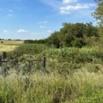
Land Description: Tract 4 is a good farm with county road access on the north side. This tract previously had approx. 123 acres in cropland and is now improved grass, mainly Old World Blue stem grass. It’s fenced on all four sides.
TRACT 5 158± Acres, Major Co.
Legal Description: The N/2 N/2 of Sec. 7 T23N R16WIM
Land Location: From Hwy 412 and County Road 228, go 4.75 miles north to the southeast corner of the property. Or, approx. 5 miles east of Quinlan on the blacktop County Road 36 (called the Belva Blacktop).
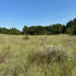
Land Description: Largely farm ground, this tract is one mile long running east to west. Cuddy Creek runs through this tract. This is a good farm with county road access on the north side and east side and fenced on the northeast and west sides.
TRACT 6 142.33± Acres, Woods Co.
Legal Description: The SW/4 of Sec. 18 T24N R16WIM and W/2 & SE/4 NW/4 of Sec. 19 T24N R16WIM
Land Location: From County Road 228 and Belva Blacktop County Road 36, go north 3 miles on County Road 228 and then ¾ mile west on County Road 32 and land is on the north side of the road. Located on County Road 32 and one mile west of County Road 32 & 228, this land is in Woods County and on the Woods and Woodward County Line. Across the river as a crow flies it is 3 miles west of Waynoka.
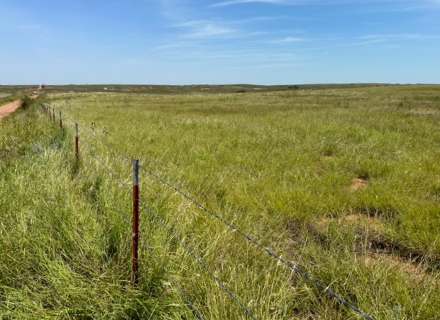
Land Description: Native grass with tamaracks and brush. Fenced on the south and north sides with county road access on those sides also.
TRACT 7 161.66± Acres, Woods Co.
Legal Description: The W/2 SE/4 and E/2 SW/4 of Sec. 7 T24N R16WIM
Land Location: From Belva Blacktop County Road 36 & County Road 228, go north on County Road 228 for 5 miles.
Land Description: The land is ¼ mile across another landowner’s property. It’s fenced on the north side. A level land with native grass and tamaracks. Call Ira to see this tract 580-334-6001.
TRACT 8 160± Acres, Major Co.
Legal Description: SW/4 of Sec. 31 T22N R15WIM
Land Location: From Bouse Junction, 5 miles south of Hwy 281 then east 2.5 miles on County Road 36 then south 2 miles. There is no county road access to this tract.
Land Description: A mild rolling type terrain of native grass. No county road access. To see this land contact Ira Smith at 580-334-6001.
SELLER
Carey E. Nelson Trust & Martha Lee Kuersteiner Trust